Project Description
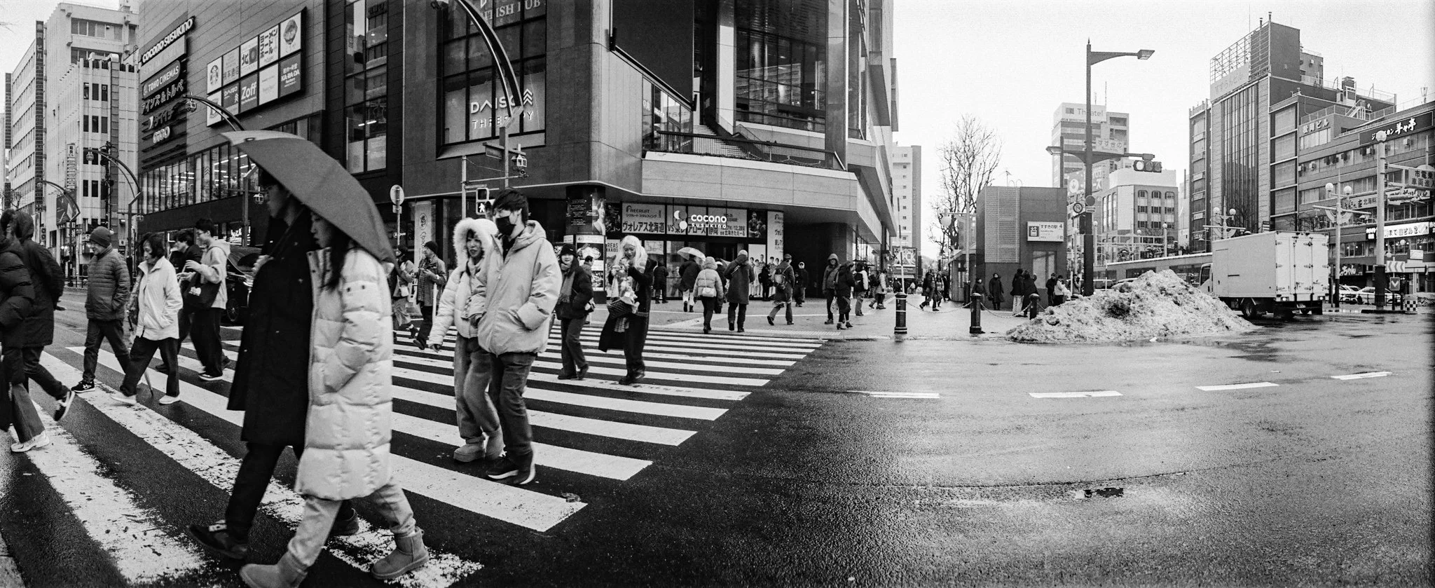
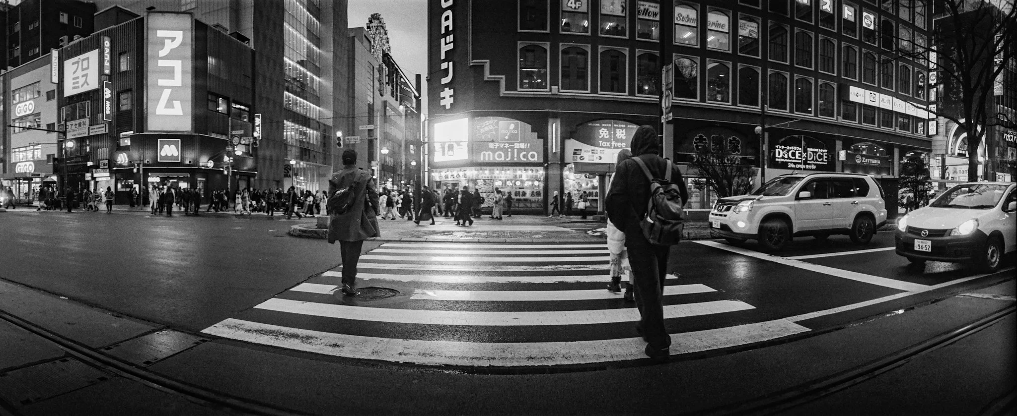
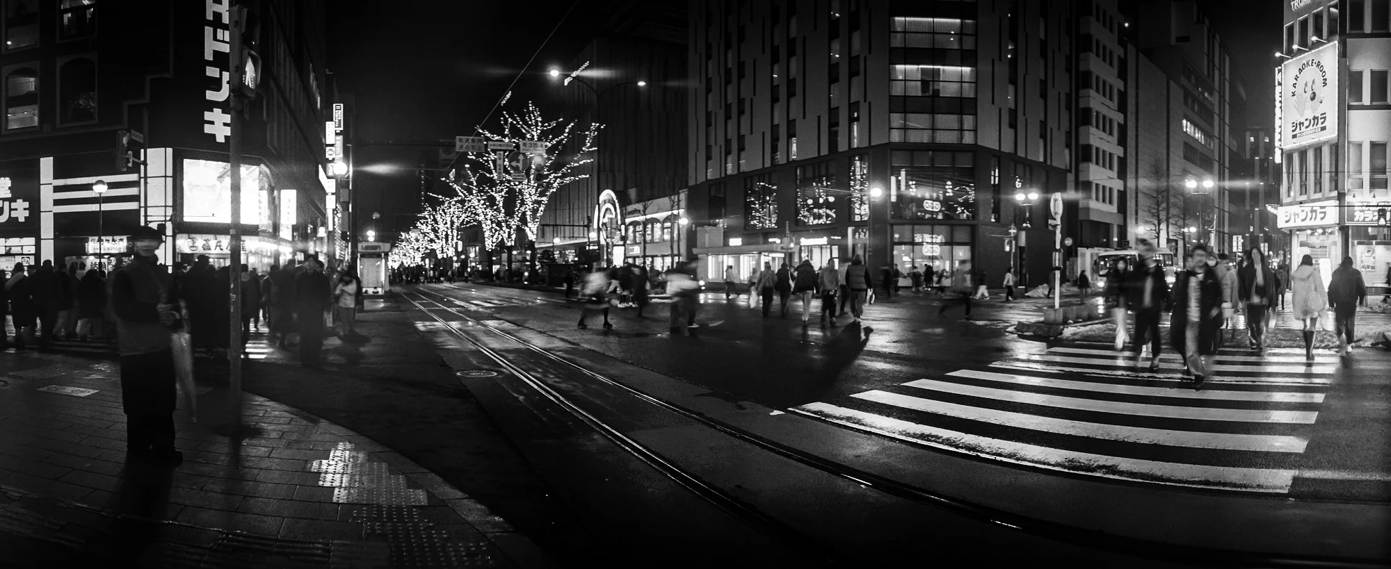
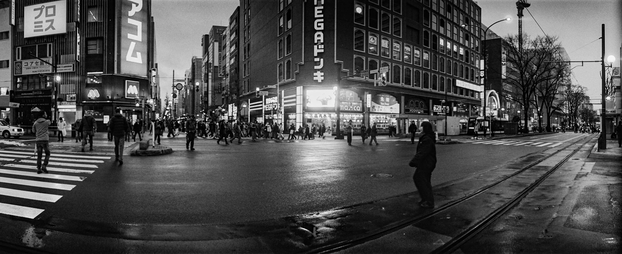
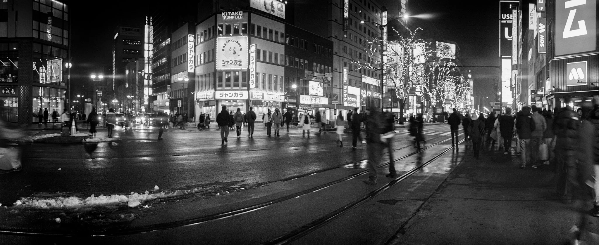
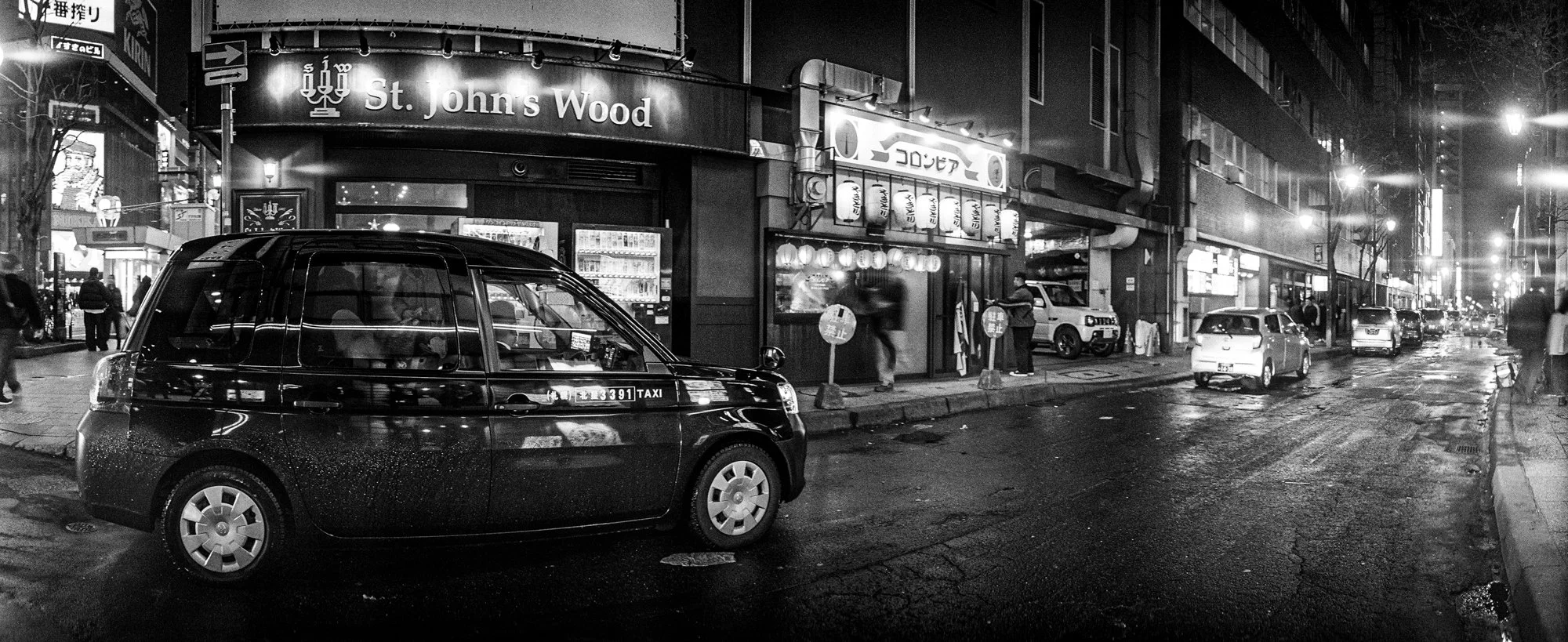
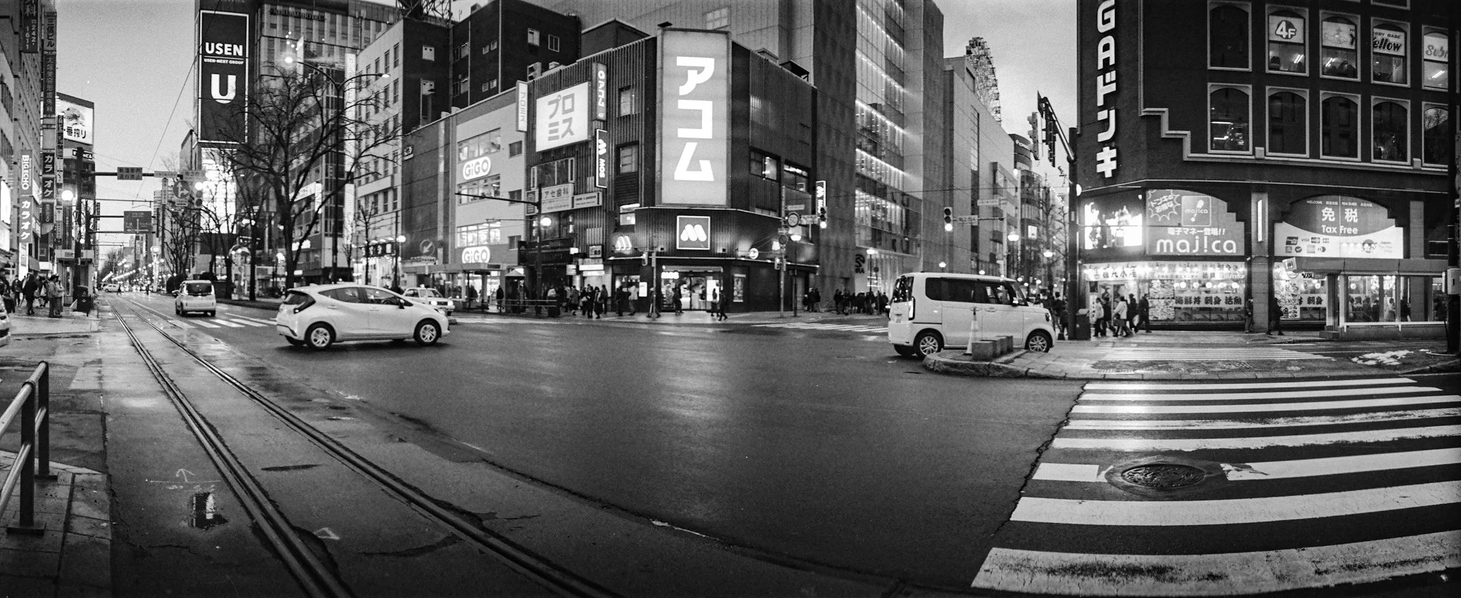
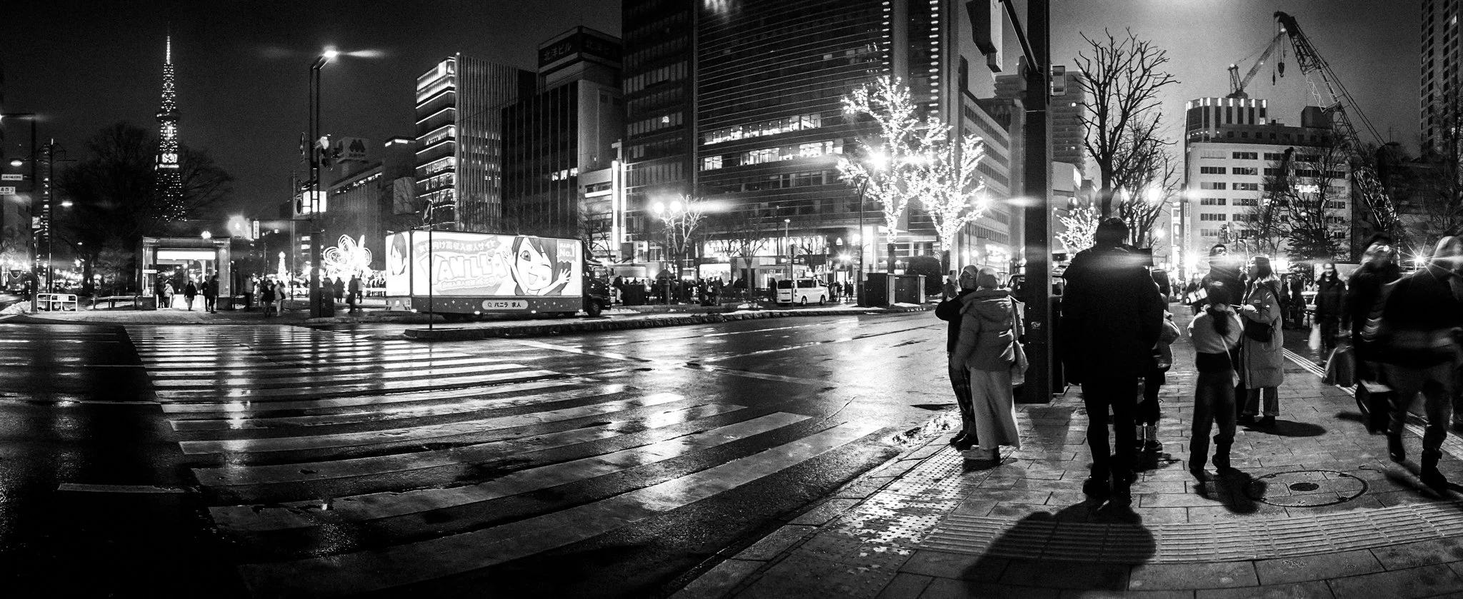
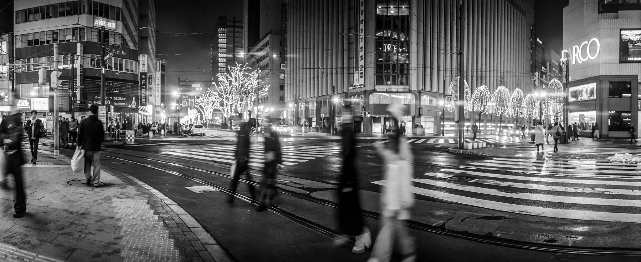
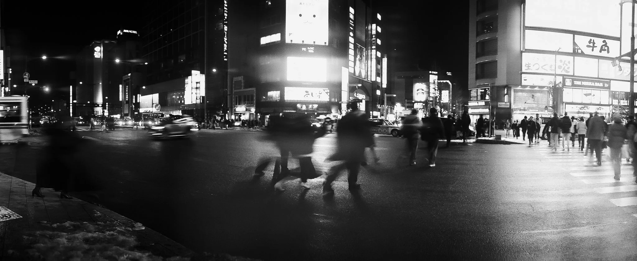
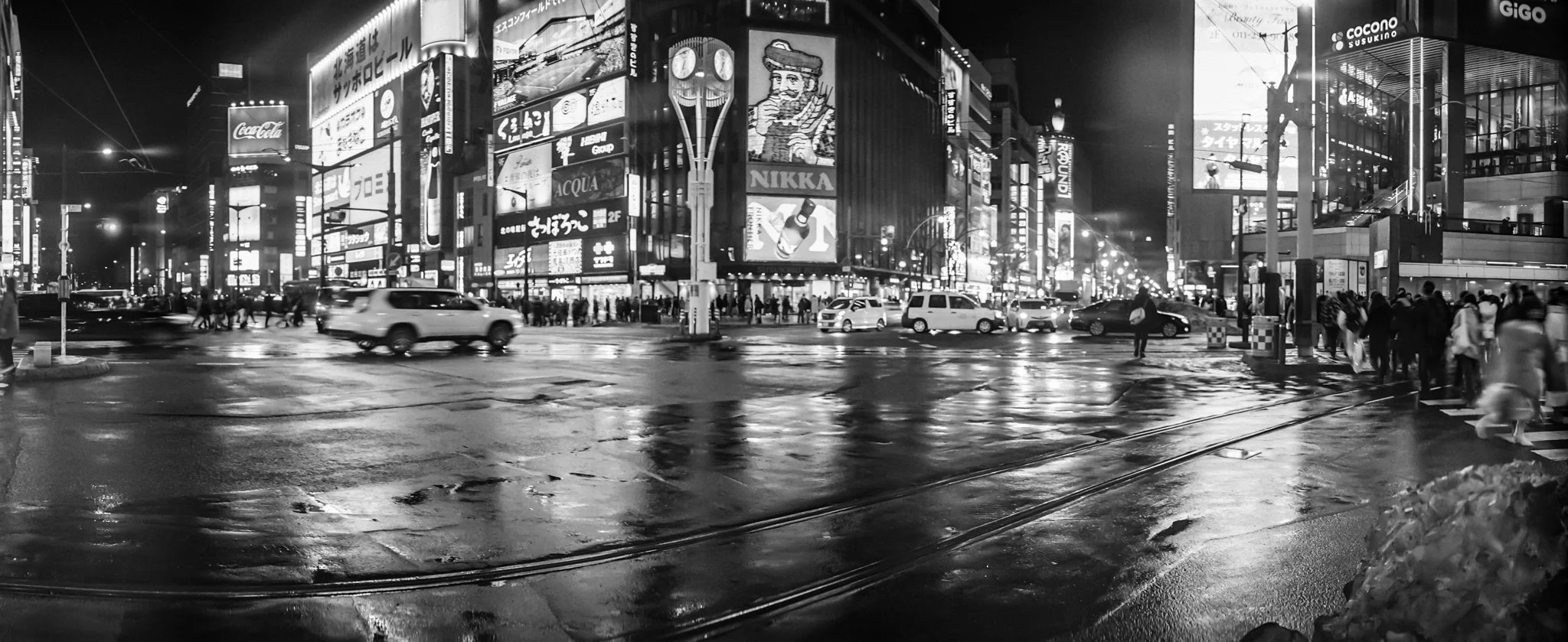
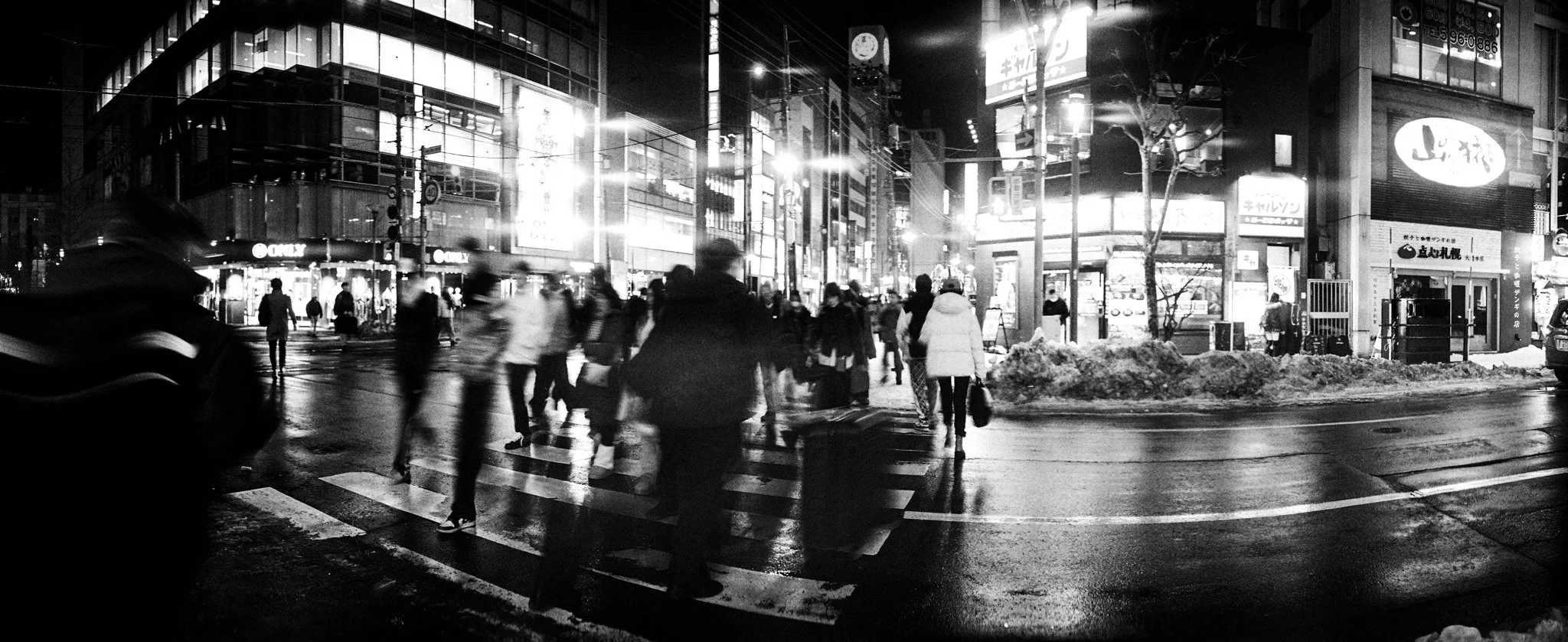
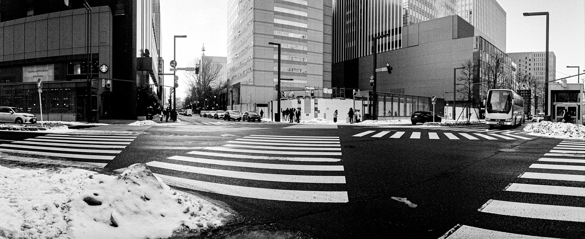
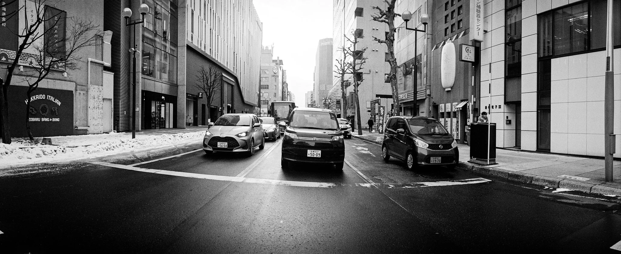
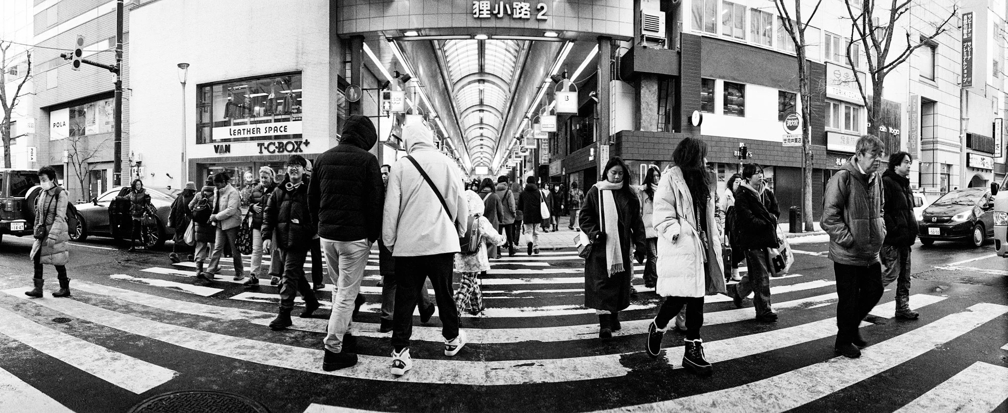
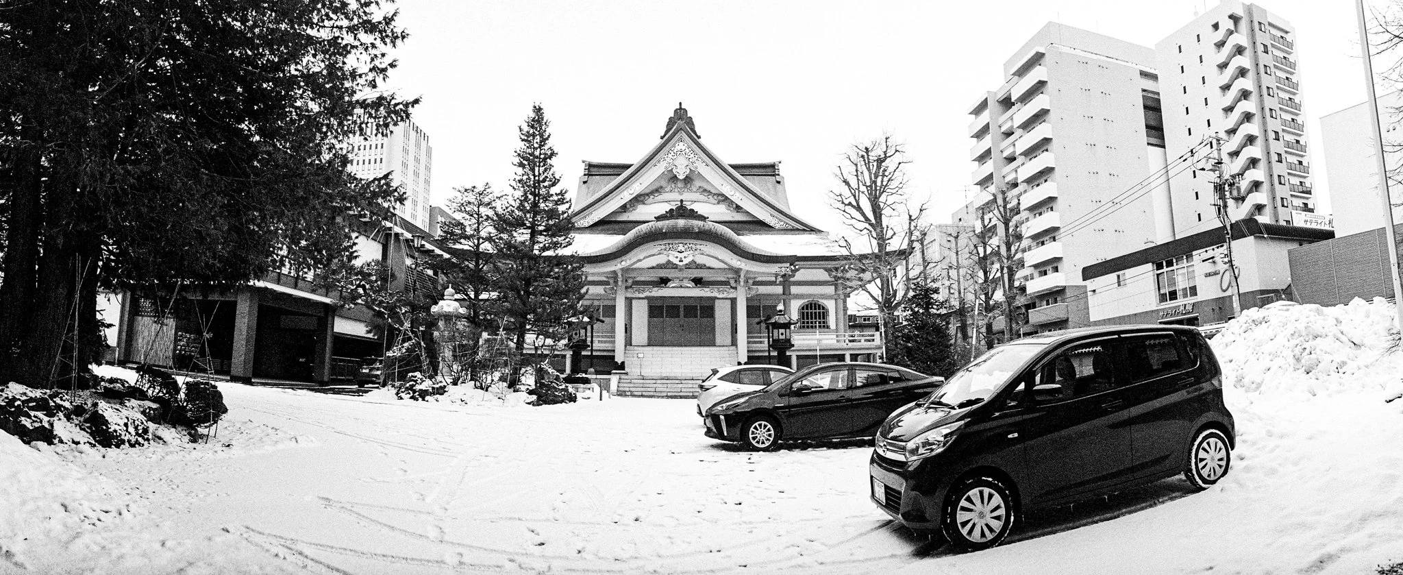
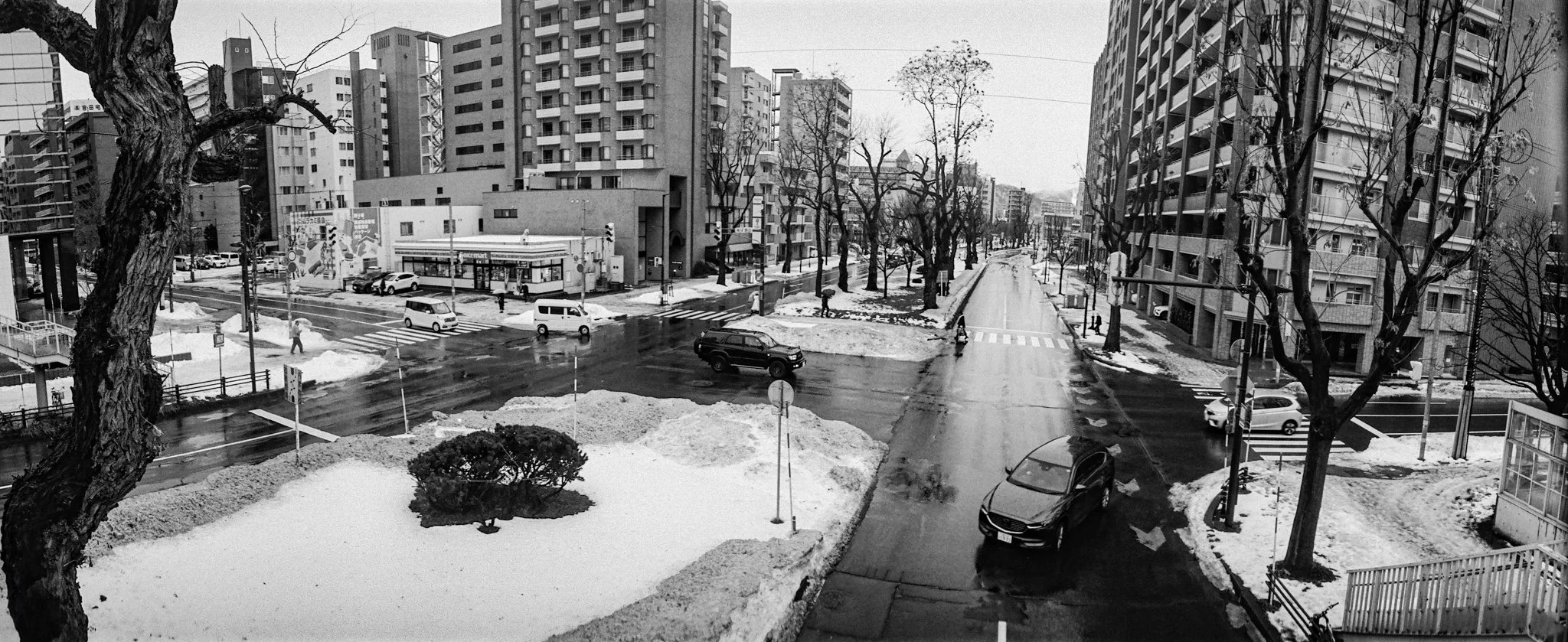
Sapporo is a relatively modern city shaped by a distinctive grid-based plan. These images explore it not as a diagram, but as daily life unfolding within a carefully designed framework.
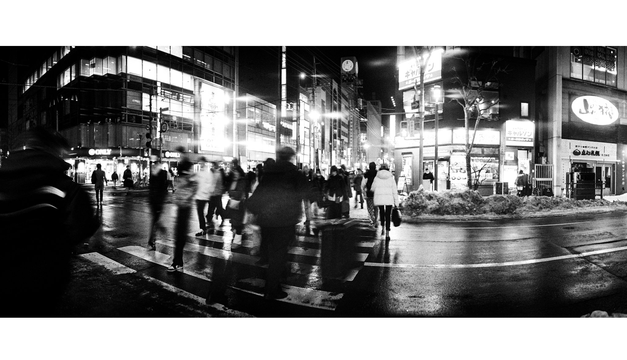
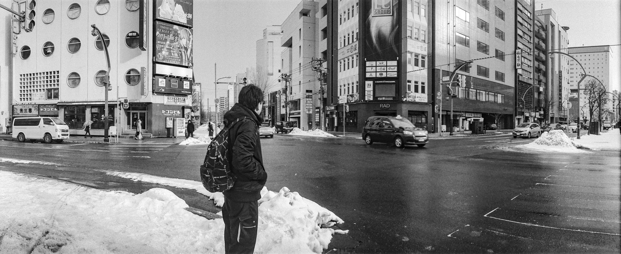
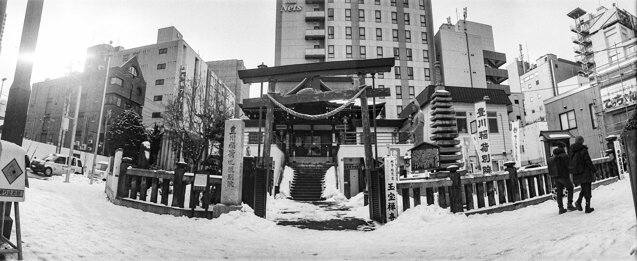
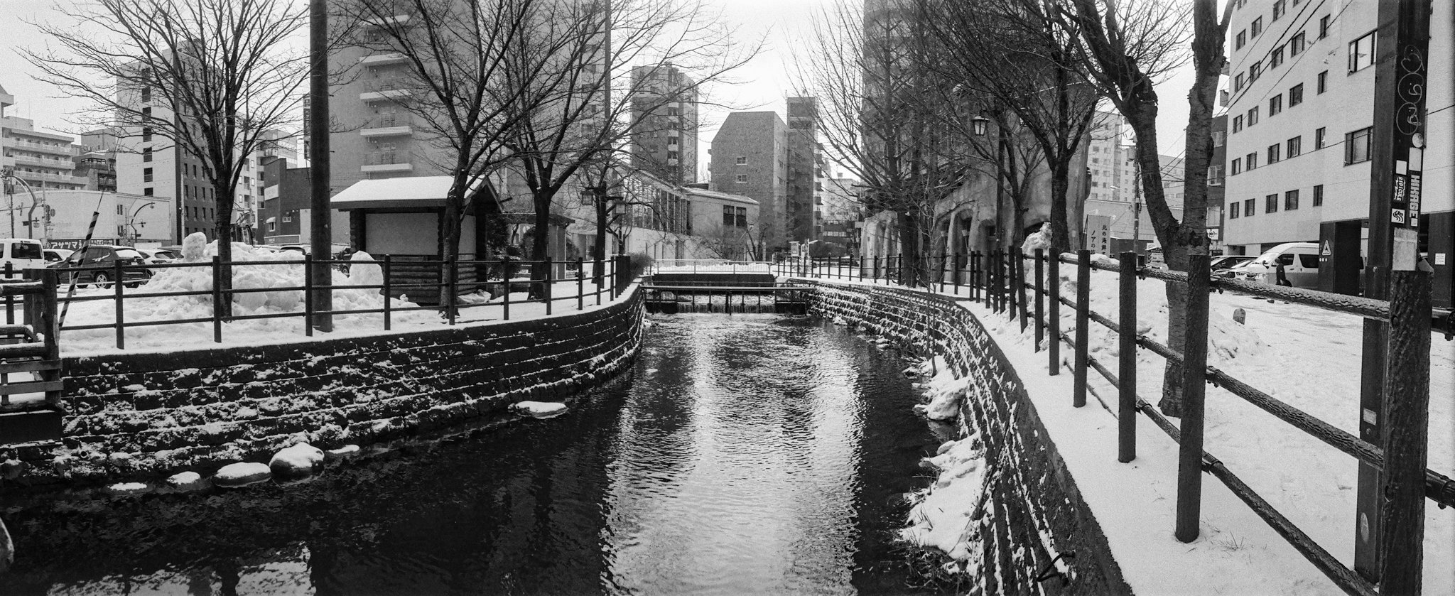
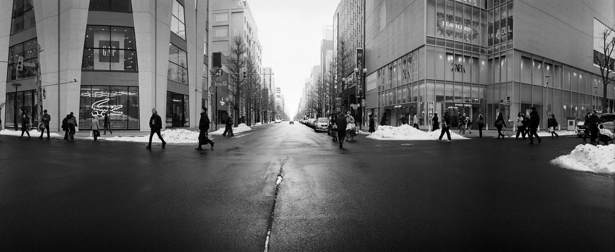
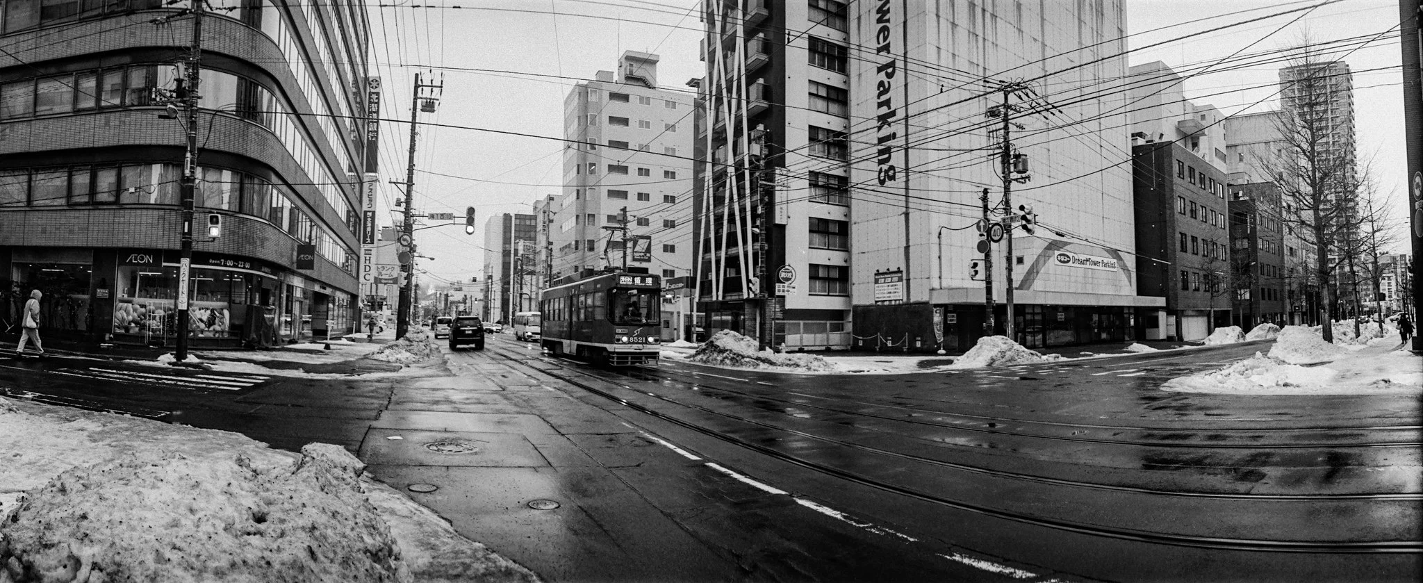
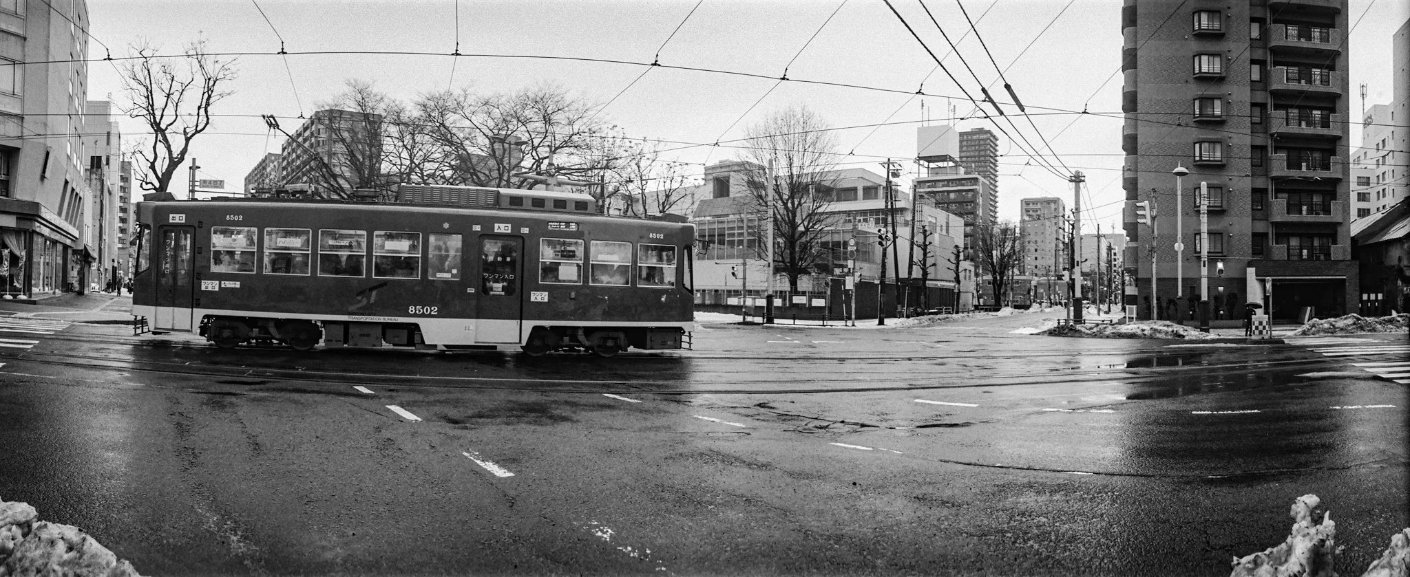
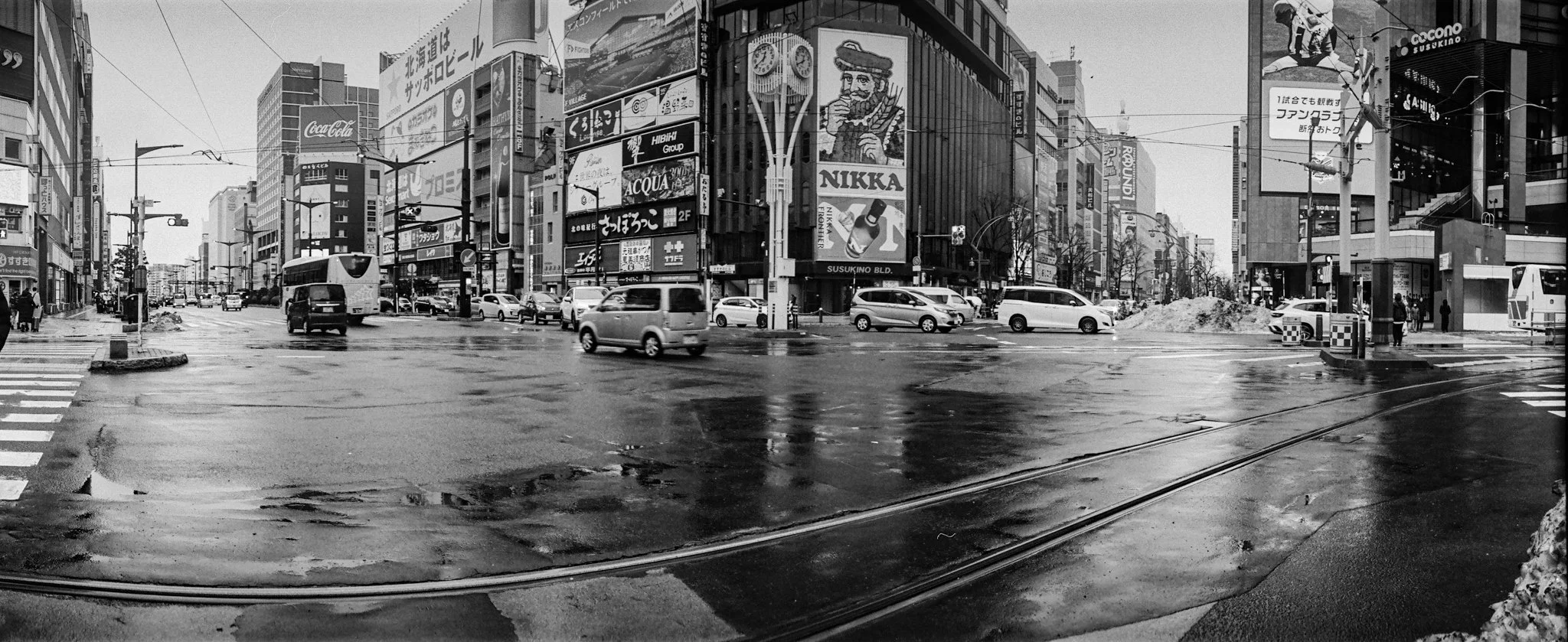
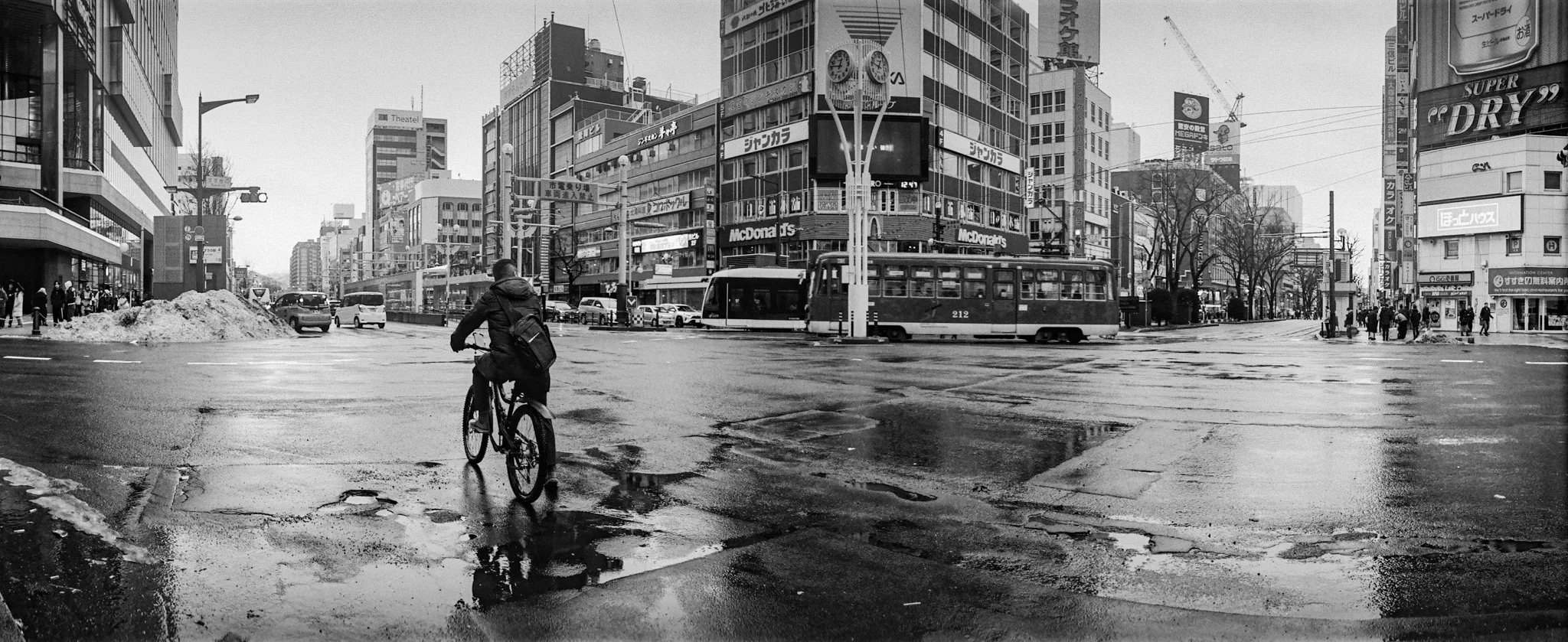
Walking the Grid explores Sapporo, a relatively modern city shaped by a distinctive grid-based plan. Its downtown streets are laid out in right-angled blocks, numbered rather than named, prioritising clarity, efficiency, and ease of navigation. This is an approach more closely associated with North American planning than with most Japanese cities. This rational surface is supported by underground walkways and an efficient subway system, allowing the city to function smoothly through winter.
Made on foot, the work focuses on crossings and intersections; points where the grid is most actively used, negotiated, and inhabited. Using a panoramic Widelux camera, the swing lens bends and distorts these rigid junctions. Straight lines curve, crossings swell, and the fixed geometry of the plan appears to flex.
The resulting images do not depict the grid as an abstract system, but as a lived structure. The curved lens becomes a way of registering the flow of pedestrians, vehicles, light, and weather as they move through the city, subtly reshaping its order. What emerges is Sapporo not as a diagram, but as daily life unfolding within a carefully designed framework.